Hiking the water trail
Auffach, a small Tyrolean village at the very back of the valley called the Wildschönau. For me, visiting Auffach is like coming home, but for the average mountain lover, the village will not stir up too much. I have been coming here for more than 25 years now but apparently I still haven't seen everything because in 2010 I discovered a brilliantly challenging new hiking trail.
The walk
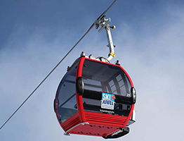
For this walk, it is important to wear good walking shoes. Also bring water and something to eat. The start location of the hike is at the very end of the valley. If you think you can't go any further at Auffach, you are wrong. Drive through Auffach, past the gondola all the way to the end of the village. Follow this road for about 6 kilometres. At some point you will come to the Schönangeralm, a cosy restaurant where it is often very busy. Here you have the opportunity to park your car. Usually this is paid parking here so keep that in mind. Once you've parked the car, put on the hiking boots and the backpack on your back, we can be on our way. As you will see, the road you just followed by car still continues. A barrier ensures that you will have to continue on foot. Pass the barrier and follow the path that will take you even further to the end of the valley. Follow the red dot, route number 5. The first stretch you walk through green meadows with the stream on your right. Keep following the path straight ahead. At some point you cross the stream and see an alp on your right, the Kundlalm. As soon as you get near, you will get the exit to the alm. Take this exit. Before you reach the alm, you get another turn off to a path that goes to the left, further into the valley. Follow this path. You will therefore not eventually reach the alm. The path you now follow is a path less passable than the previous one. After a short walk, the path ends. You have now really reached the end point of the valley.
The climb
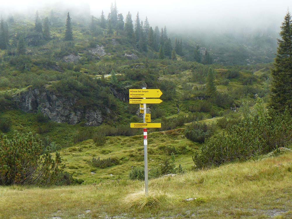
Of course, the footpath does not really end here. On the right, the trail continues uphill. You will see signs indicating a waterfall here. You should now follow these signs. The path mostly goes up steeply, so you will have to do some climbing. When I followed the path with my wife in 2010, the weather was very nice but I can imagine that when it rained, the path also serves as a drainage channel. Every now and then, the path looks more like a big staircase with way too big steps with a cable on the side to use so you don't fall.
Waterfall
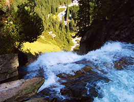
At one point, you come to a fork in the road. One side goes towards the waterfall, the other continues upwards. We continue up this way but you really need to take a look at the waterfall first. Follow the path all the way until you reach the waterfall. This is the surprise I wasn't expecting in any case. This is the ideal place to take a break and have something to eat and drink. As soon as you can continue, walk back to the junction and follow the path further up. It is now a nice climb all the way up.
Descent
Once at the top, you have two choices; either visit the Gressensteinalm, which is about a 30-45 minutes walk or start the journey back down. At the Gressensteinalm you should be able to get something to eat and drink. Unfortunately, we did not have enough time to visit the alm so we opted for the return via trail number 52. This is the general hiking trail you see further down. The route down, back to the Schönangeralm is completely via the normal path. Of course, if you find this too boring, you can choose to take the same way down that you just took to the top. Mind you, descending is tougher than ascending for many. Follow path number 52 until you finally come back down to the path where you started. Here you turn right to the Schönangeralm. If the weather is good and it's not too crowded, I still recommend having a drink here. Hope you enjoyed this hike. Do let us know how it went and what you think of it?
Summary:
• hiking duration: 4-5 hours
• hiking level: average
• hiking info: flat - climbing - descending
• hiking boots are recommended
• Starting location: Restaurant Schönangeralm Auffach - Tyrol - Austria
• Hiking map: number 41 - Mayr - Hochtal Wildschönau

